



Property Media · Aerial Photography · Matterport 3D Tours · Drone Inspections
Property Photography, Matterport 3D & Drone Services in Miami & South Florida
We started in the sky. Now we cover every angle.
SAIRS is based in Miami and operates through two specialized divisions. SAIRS provides visual and thermal drone inspections, aerial mapping and technical documentation. SAIRS Axis focuses on property media: professional real estate, architectural and interior photography, property videography, aerial media and Matterport 3D tours and scanning. Together, we serve residential, commercial, multifamily, hospitality and infrastructure projects across South Florida.
Selected SAIRS Work
See the work behind every angle
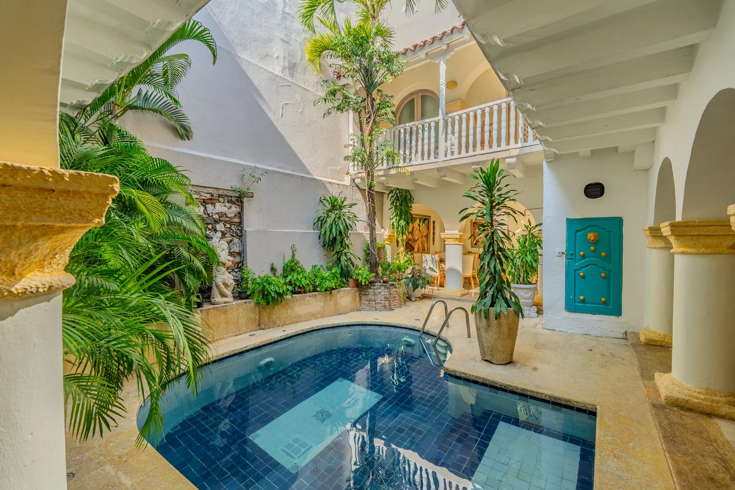
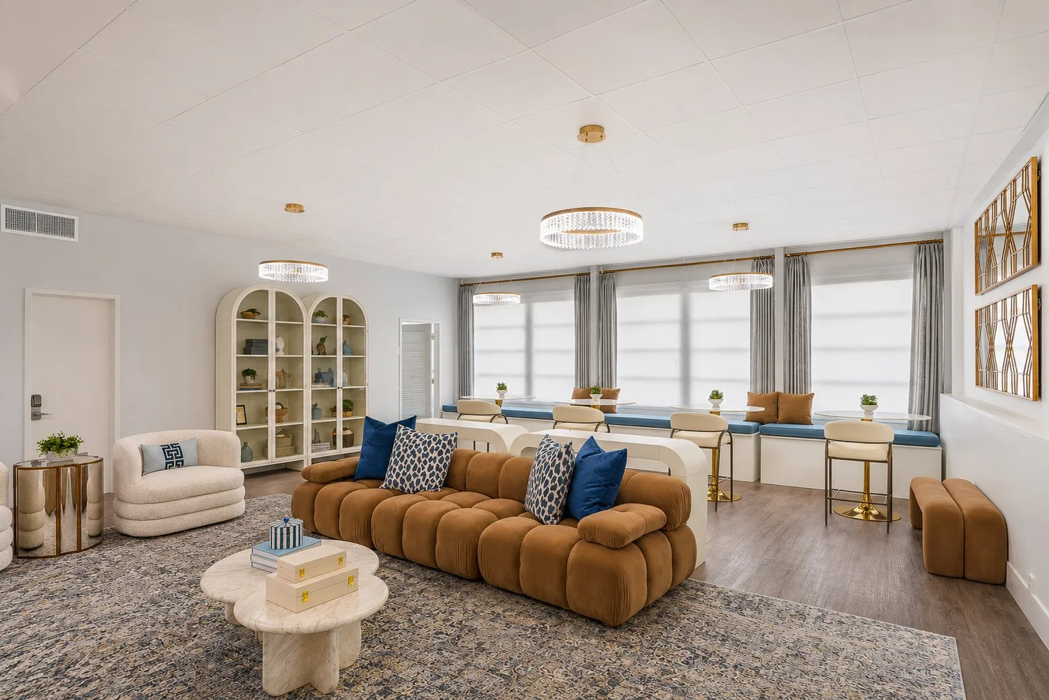
Explore selected SAIRS photography, aerial media and Matterport 3D projects across residential, interior design, hospitality and commercial spaces throughout Miami and South Florida.

Fisher Island Residence
Miami Beach, FloridaPreview unavailable. You can still open this project.
Selected residential, interior design, hospitality and commercial photography by SAIRS
Explore SAIRS Services
Built Around Your Project
Built around what your project needs to accomplish
From property photography, aerial media and Matterport 3D capture to technical drone inspection and documentation, SAIRS adapts coverage, capture methods, deliverables and timing to the property, asset and objective behind each assignment. Dedicated drone inspection and technical documentation capabilities for property, infrastructure and energy projects are detailed on our Drone Inspections page.
Photography, aerial media, 3D capture and inspection workflows are selected around what the project actually requires.
Scope considers the property or asset, access, intended use, project objective and the information that needs to be captured.
Client-ready media, 3D models and inspection documentation are structured around the final purpose of the assignment.
Book with confidence
At checkout, choose to pay securely with card or PayPal, or reserve your shoot today and pay once your project is completed and ready for delivery.
No payment required upfront when selecting Reserve Now, Pay Later™
Who We Work With
From real estate and architecture to interior design, multifamily, hospitality and infrastructure, SAIRS combines professional imaging, 3D capture and aerial operations around the needs of each project.
Agents & Brokers
Professional HDR photos, aerial imagery, video and Matterport 3D tours that help listings stand out online and give buyers a stronger sense of the property before scheduling a showing.
Apartments & Property Managers
Matterport tours, floor plans, photo sets and digital assets that help leasing teams reduce unnecessary visits, support remote prospects and present units with clarity.
Hotels & Resorts
Professional hospitality photography, Matterport 3D tours and aerial media for hotels, resorts, guestrooms, restaurants, amenities and event venues. Help guests, event planners and property teams explore your spaces before visiting.
Telecom Companies
Aerial inspection and documentation support for telecom infrastructure and hard-to-reach assets, with organized visual records for technical teams.
Utilities & Energy Operators
Aerial inspection and documentation support for utility and energy assets, planned around field conditions, access and project requirements.
Insurers & Claims Adjusters
Aerial and ground-level documentation for claims review, property records and condition assessment across residential and commercial assets.
Where SAIRS operates
SAIRS is based in Miami and serves Miami-Dade, Broward, Palm Beach and the Florida Keys for property photography, aerial media, Matterport 3D tours and drone inspection projects.
How SAIRS projects are delivered
Deliverables are organized for the assignment and may include edited photography, aerial media, video, Matterport links, floor plans, inspection folders and client-ready digital files.
Start a Project
Have a project in mind?
Tell us what you need to photograph, scan, document or inspect. We will help define the right coverage and capture approach.
Contact SAIRS