
Keeping South Florida’s Electrical Grid Reliable
How SAIRS Supports Florida Power & Light Through Advanced Thermal Drone Inspections
Reliable electricity is something most people rarely think about until it is no longer available.
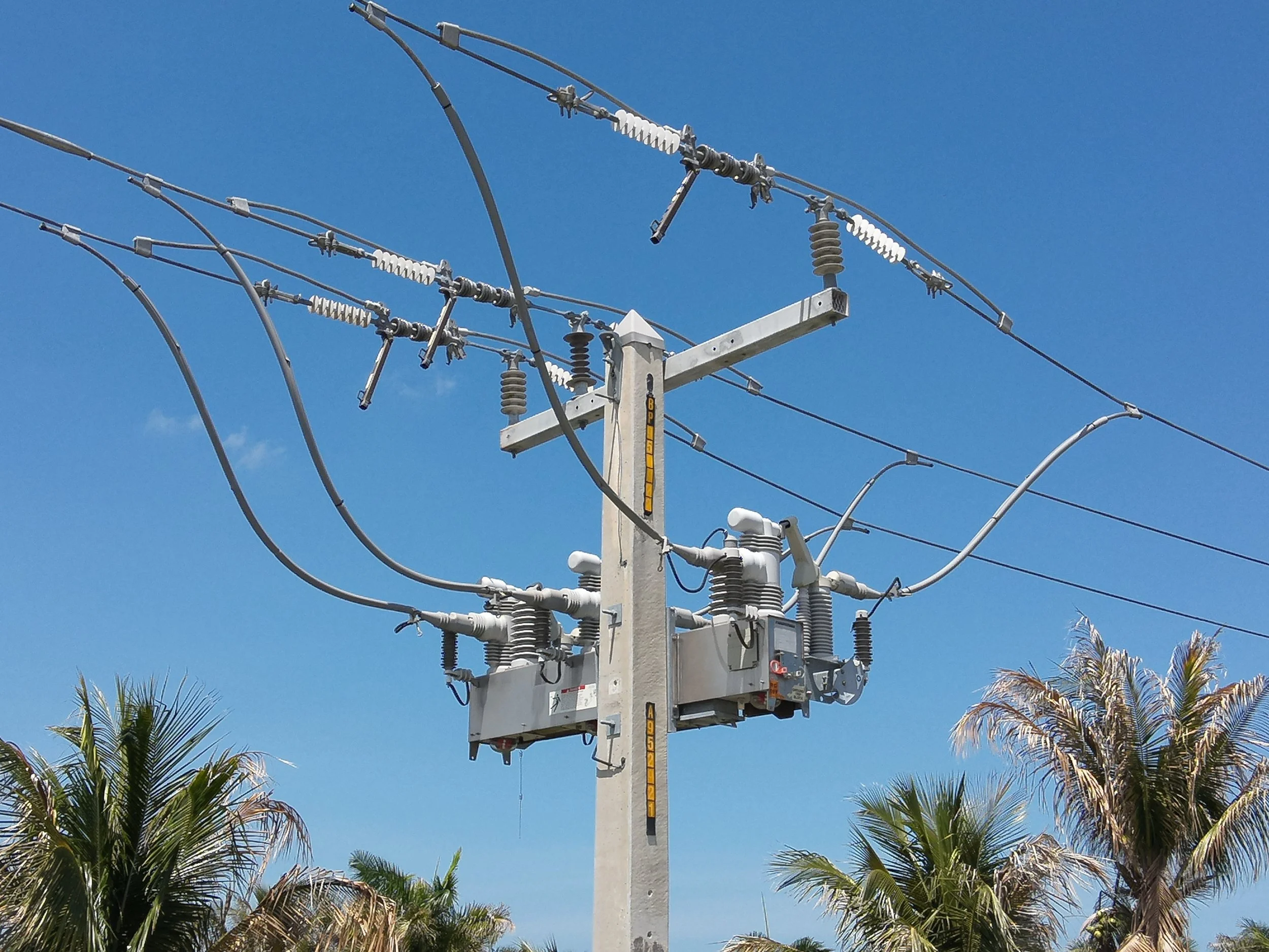
Behind every illuminated home, operating hospital, manufacturing facility and business in South Florida lies an extensive network of utility poles, transformers, conductors, switches, insulators and distribution equipment working around the clock under demanding environmental conditions.
Maintaining this infrastructure is one of the largest ongoing challenges faced by modern electric utilities.
High temperatures, humidity, salt air, tropical storms, vegetation growth and continuous electrical loading all contribute to the gradual deterioration of critical assets. Detecting these issues before they evolve into service interruptions requires more than routine inspections. It requires accurate, repeatable and data-driven intelligence.
For more than four years, SAIRS has proudly supported Florida Power & Light -FPL by conducting thermal drone inspections across South Florida’s electrical distribution network. Using enterprise RTK drones equipped with radiometric thermal sensors, our team helps collect high-precision aerial data that allows engineers to identify potential anomalies before they become operational problems.
Preventive Maintenance Begins Long Before an Outage
Contrary to what many people believe, utility inspections are not performed only after equipment fails.
Modern electrical utilities operate under preventive and predictive maintenance programs designed to detect abnormal operating conditions before they affect customers.
Instead of reacting to failures, engineers continuously evaluate the health of thousands of electrical assets, prioritizing maintenance based on objective inspection data.
Drone technology has become one of the most valuable tools supporting this process.
High-resolution RGB imagery, thermal imaging and centimeter-level positioning allow engineers to evaluate large portions of the electrical grid safely, consistently and with an extraordinary level of detail.

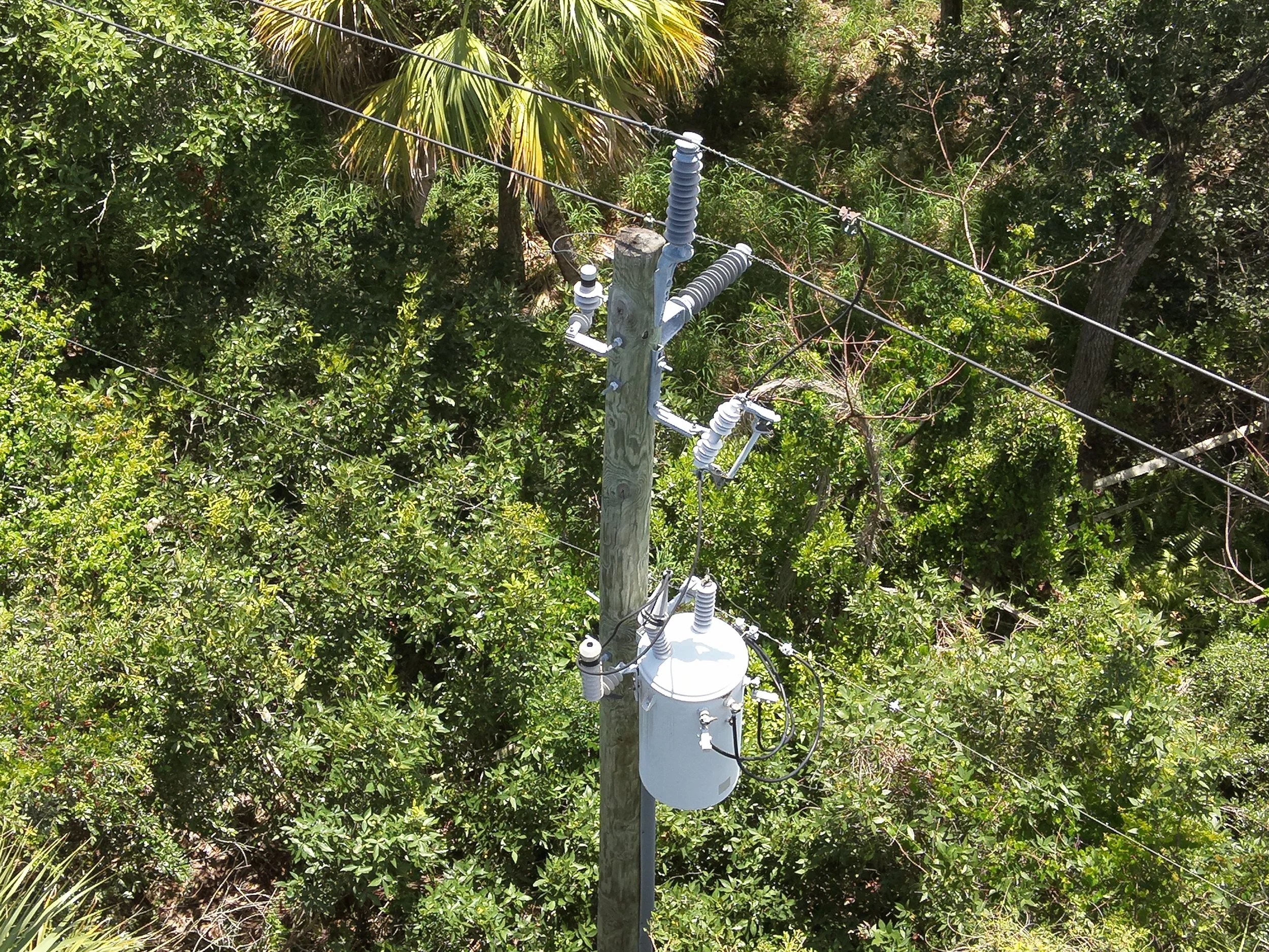
Inspecting Hundreds of Utility Poles Every Day
One of the greatest operational advantages of drone technology is efficiency.
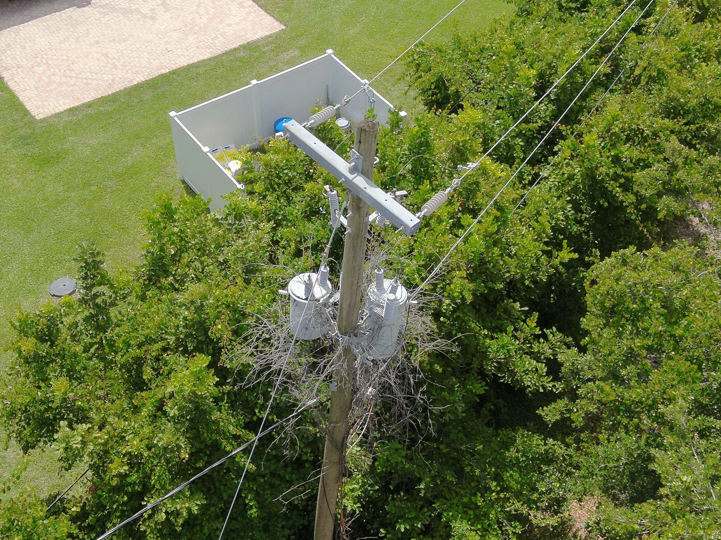
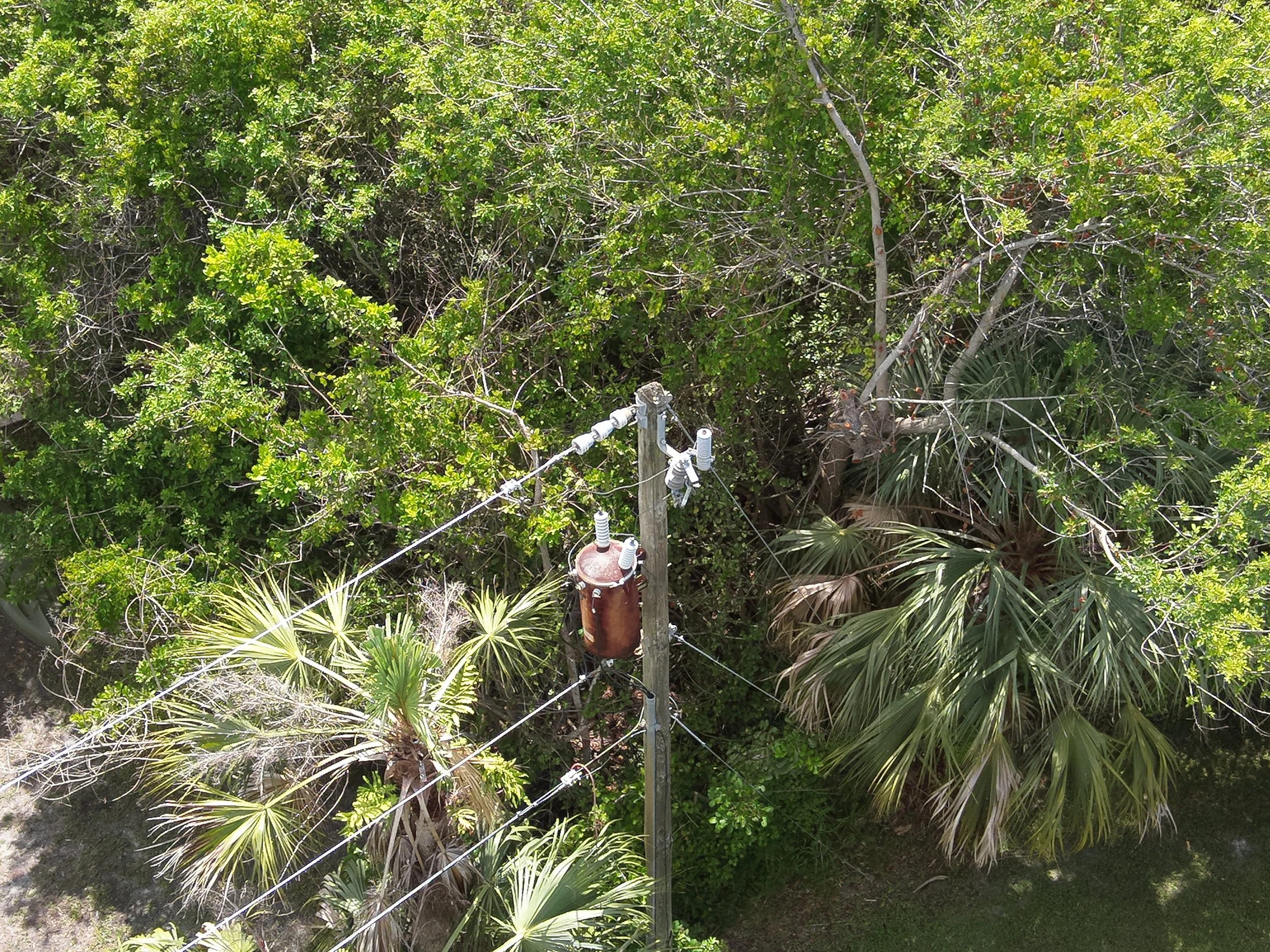
During a typical workday, SAIRS can inspect approximately 8 to 10 miles of electrical distribution infrastructure, documenting between 350 and 500 utility poles.
Each structure is photographed multiple times using both RGB and thermal imaging, creating a comprehensive visual record of every inspected asset.
Rather than spending days walking or driving long utility corridors, inspection teams can rapidly collect standardized information covering hundreds of structures in a single shift.
The result is significantly greater inspection coverage while maintaining exceptional image consistency throughout the entire project.
Every Pole Generates Two Complete Inspection Records
Each utility pole inspected produces two complementary datasets.
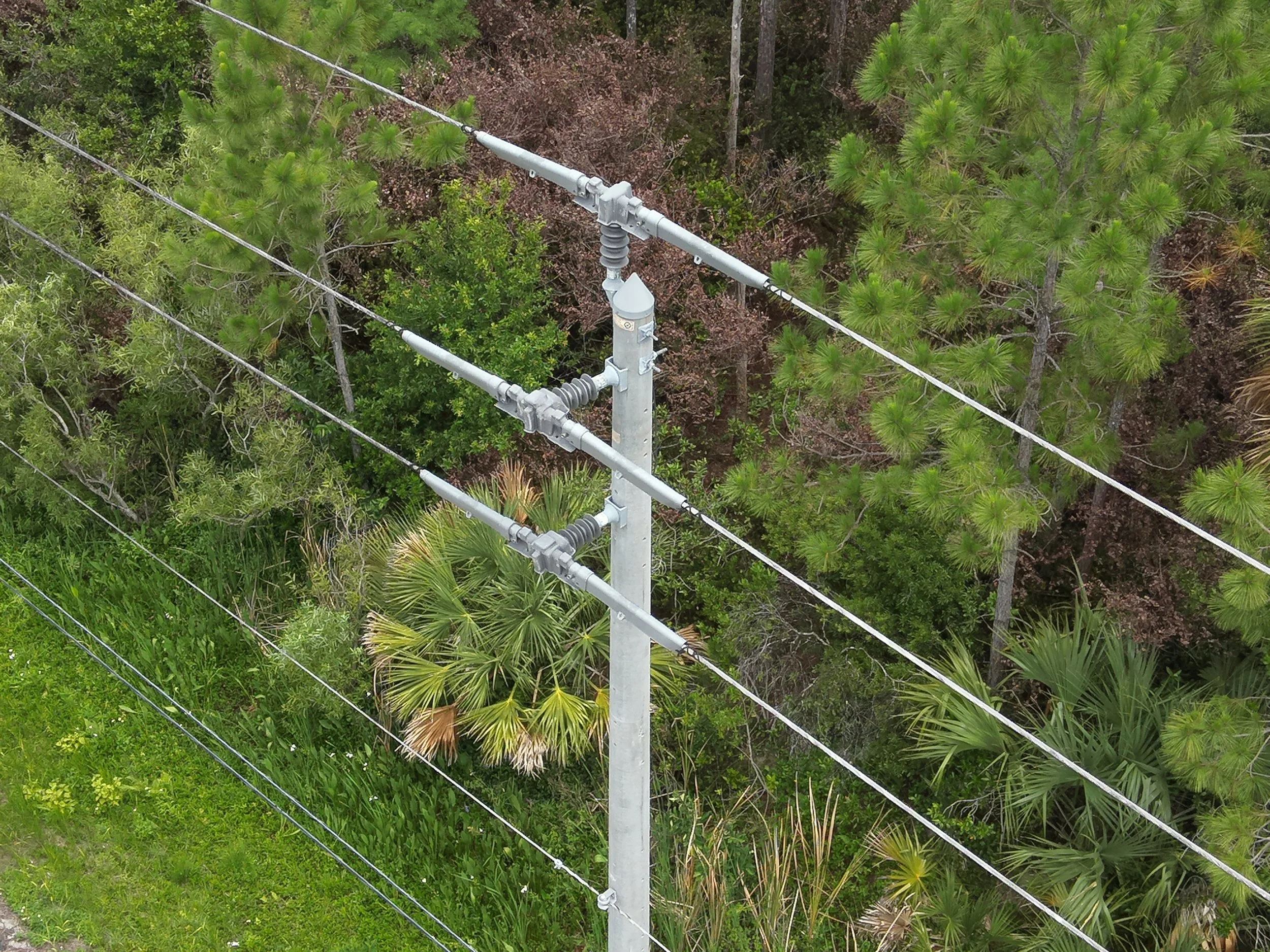
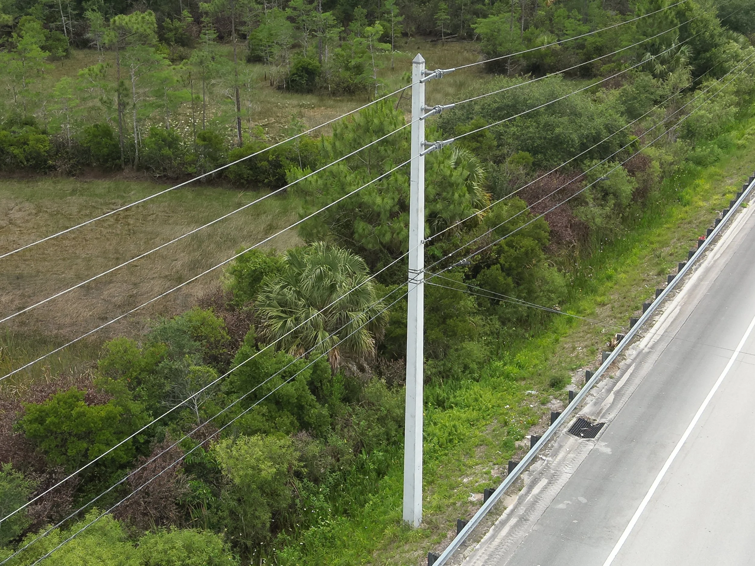
The first consists of high-resolution RGB photographs that document the physical condition of the infrastructure.
These images allow engineers to evaluate:
• Structural integrity
• Pole condition
• Crossarms
• Insulators
• Transformers
• Hardware
• Vegetation encroachment
• Visible damage
• General asset condition
The second dataset consists of radiometric thermal imagery.
Unlike standard photographs, thermal cameras measure infrared radiation emitted by energized components.
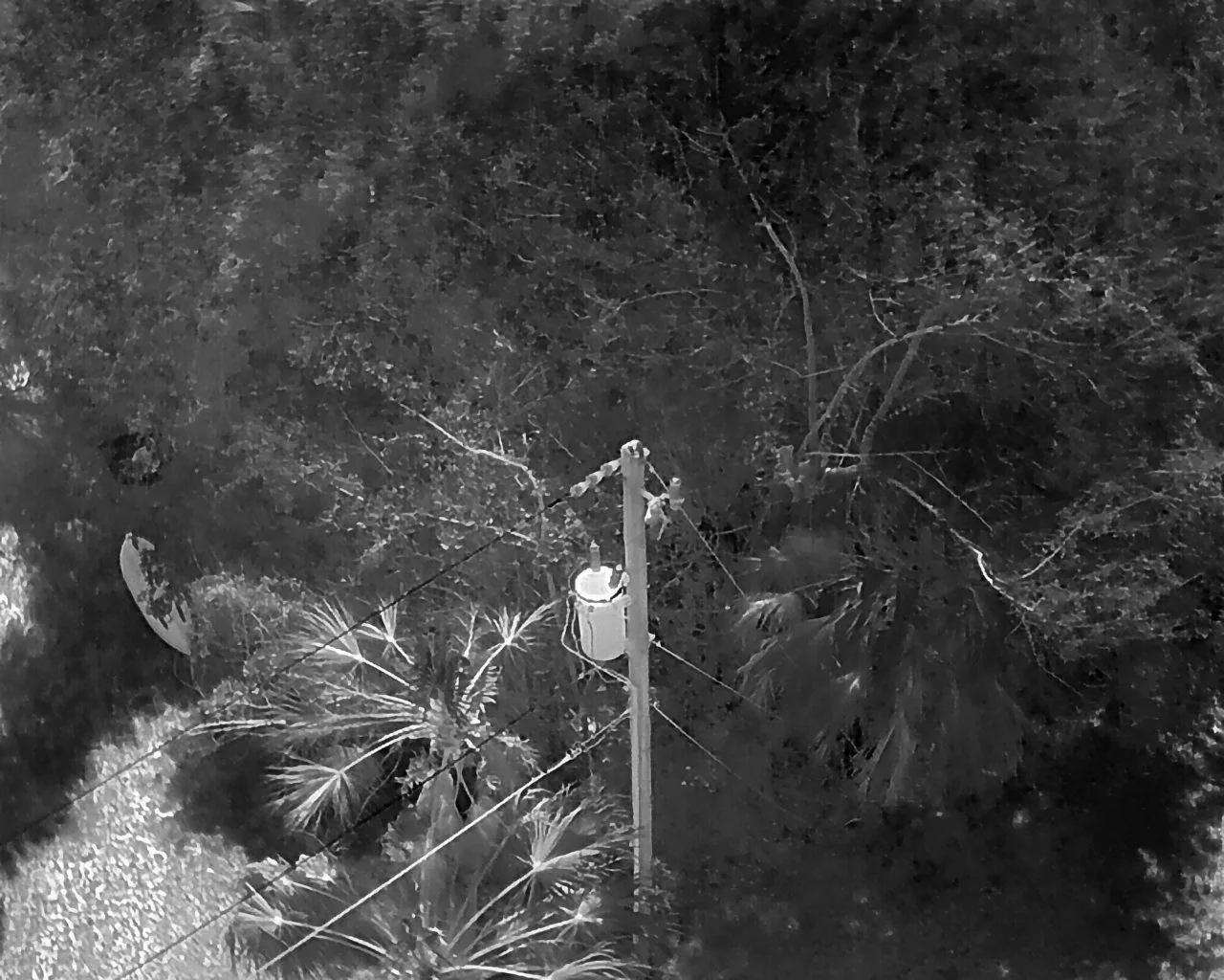
Using a White Hot thermal palette, engineers can visualize temperature differences across electrical equipment and identify abnormal thermal patterns that may require further evaluation.
The objective is not simply finding “hot” or “cold” components.
Instead, engineers analyze thermal anomalies, compare operating temperatures between similar components and identify patterns that may indicate loose connections, deteriorating hardware, overloaded equipment or other conditions requiring maintenance.
Why RTK Matters
Every inspection image collected during these missions is accurately georeferenced using Real-Time Kinematic (RTK) positioning technology.
RTK improves positioning accuracy to the centimeter level, ensuring every photograph is associated with its exact inspection location.
When hundreds of utility poles are inspected during a single day, precise geolocation becomes critical.
After the flight, engineers import thousands of RGB and thermal images into specialized analysis software where each image is automatically linked to its corresponding utility asset.
Rather than searching through miles of infrastructure, maintenance teams immediately know which structure, component and inspection point require attention.
This level of positional accuracy simplifies documentation, supports GIS integration and improves long-term asset management across large utility networks.
Precision Flying Around Critical Infrastructure
Utility inspection missions are among the most demanding operations performed with enterprise drones.
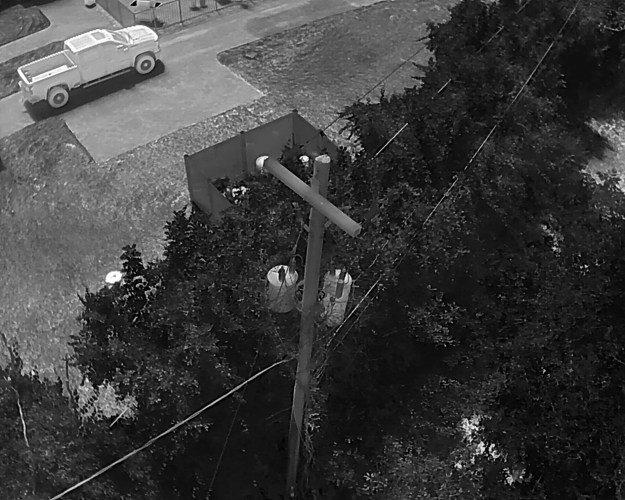
Inspection images are typically captured from approximately 10 feet away from energized utility poles, a distance that provides the level of detail required for engineering analysis while demanding exceptional aircraft control.
Unlike cinematic drone flights over open landscapes, these operations take place in highly constrained environments.
Pilots must continuously navigate around conductors, transformers, guy wires, communication cables, trees, residential properties, roadways and numerous other obstacles while maintaining stable aircraft positioning for every image captured.
Every flight requires careful planning, precise execution and constant situational awareness.
During a single workday, those same precision maneuvers may be repeated hundreds of times while maintaining consistent image quality across every inspected structure.
More Than Thermal Data
Thermal inspections provide considerably more information than electrical temperature readings alone.
Every mission also documents surrounding environmental conditions that may influence the long-term reliability of the electrical network.
Inspection imagery frequently captures:
• Vegetation growth approaching energized conductors
• Damaged or deteriorated hardware
• Leaning structures
• Physical damage after storms
• Clearance conditions
• General corridor conditions
As a result, a single inspection flight generates valuable information supporting multiple maintenance and asset management programs simultaneously.
Turning Data Into Action
Collecting aerial imagery is only the beginning.
The real value comes from transforming thousands of inspection photographs into actionable engineering information.
Once RGB and thermal imagery has been analyzed, engineering teams can identify assets requiring maintenance, prioritize repairs and dispatch field crews to specific locations supported by objective inspection data.
Rather than allocating resources across hundreds of structures with unknown conditions, maintenance crews can focus directly on the assets showing potential anomalies.
This improves planning, reduces unnecessary field inspections and allows maintenance resources to be used more efficiently.
Supporting a Smarter Electrical Grid
The electric grid continues to evolve alongside advances in data collection, automation and predictive maintenance.
Drone technology has become an important component of this transformation by enabling utilities to inspect infrastructure faster, safer and with greater consistency than many traditional methods. Industry-wide, utilities increasingly use drones to reduce exposure to hazardous inspections, improve documentation quality and accelerate maintenance decisions.
For more than four years, SAIRS has been proud to contribute to this effort by supporting Florida Power & Light’s inspection operations across South Florida.
Every mission represents hundreds of documented utility poles.
Thousands of georeferenced RGB and thermal images.
Miles of inspected electrical infrastructure.
And, ultimately, better information that helps engineering teams maintain one of the most critical systems supporting our communities.